C2C - Coast to coast Gravel
20.04.2024.
Pleškovec, Ranch Curek
- 100 km
Longer track MTB Cross Country20.04.2024. 08:30
100 kmLonger track MTB Cross Country20.04.2024. 08:30
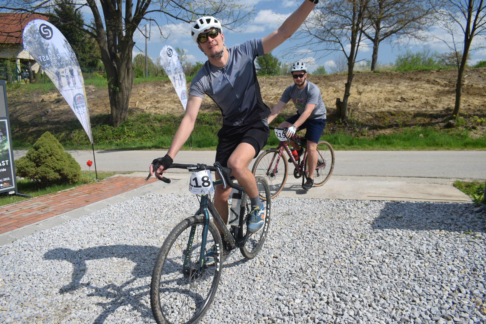
Join us again this year for the Coast to Coast gravel ride between the banks of the Mura and Drava rivers. Discover (again) the Međimurje region in a unique and different way along lesser-known trails and roads, away from the usual tourist routes. There are 2 completely new routes available. We will meet and socialize again in the same natural environment of the municipality of Sveti Juraj na Bregu, at the foot of the highest peak, Mohokos. But this time we are in a ravine, at Ranč Curek, just 1 km from last year’s location. Ride harder. Statistics is a scientific discipline that studies how to collect, summarize, and present conclusions from data. The elevation profile of a trail attempts to partially illustrate the difficulty of the trail by the ratio of the distance traveled and the sum of the heights climbed. However, that is just one factor. This relentless statistics shows that the average elevation profile of the C2C trails is constantly increasing from year to year. Therefore, this year’s edition offers an even more attractive and challenging profile of both trails with more terrain oscillations. To achieve this, the trails were traced along the upper hilly, western part of Međimurje. However, to get the longer trail, it was necessary to stretch it out in the plain. Therefore, the shorter trail has a “stronger” average elevation profile than the longer one. Path: 100 km with all types of surfaces: asphalt, forest road, field road, macadam road, dirt trail, forest trail, hunting trail, stone fortification, gravel trail, grass trail, sandy canyon. Altitude profile: 1256 altitude meters. Controls: – 3 control points: 2 along the course and the final one at the finish line.
Contact:cmon@ride-gravel.me - 75 km
Shorter track MTB Cross Country20.04.2024. 08:30
75 kmShorter track MTB Cross Country20.04.2024. 08:30
Path: 75 km with all types of surfaces: asphalt, forest road, field road, macadam road, dirt trail, forest trail, hunting trail, stone fortification, gravel trail, grass trail, sandy canyon. Altitude profile: 989 altitude meters. Controls: – 3 control points: 2 along the course and the final one at the finish line.
Contact:cmon@ride-gravel.me